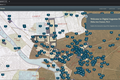
Mapping Ancient Cities, Sanctuaries and Landscapes
A Cutting Edge Digital Lab for the Study of Ancient Greek and Roman Cities, Sanctuaries and Landscapes at the University of Arizona.
All Projects
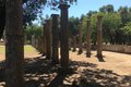
Ancient Olympic Games
Politics, nationalism, commercialism, and athletics are often associated with the Modern Olympic Games, but these themes are as old as the games themselves. Explore the climate and circumstances surrounding the ancient Olympic Games.
Corinth Computer Project
The Corinth Computer Project studies the topography and architecture of the rural and urban planning of ancient Corinth utilizing digital mapping techniques.

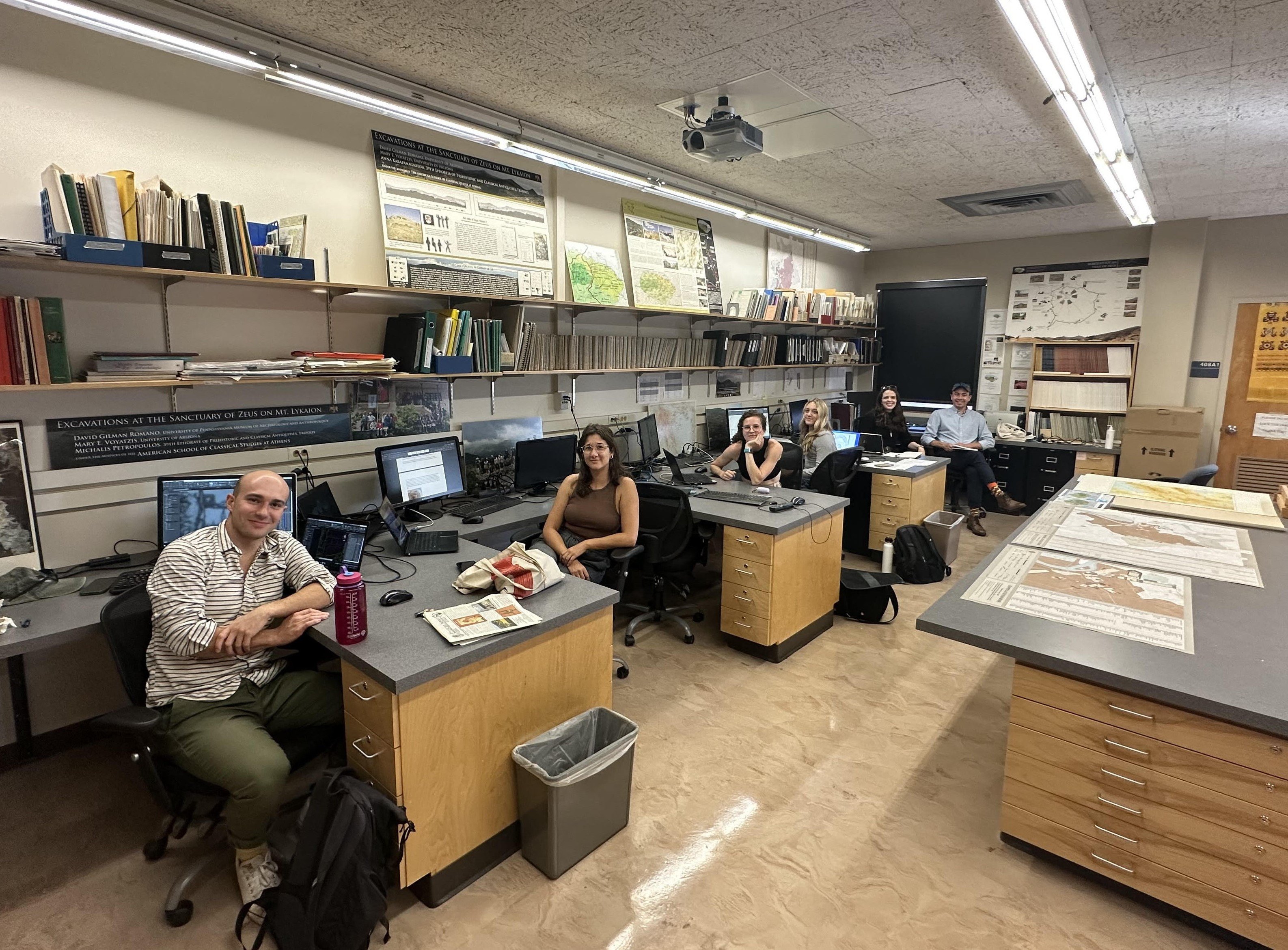
David Gilman Romano
Dr. Romano is the Nicholas and Athena Karabots Professor of Greek Archaeology, School of Anthropology, University of Arizona. He has been involved in archaeological work in Greece for 45 years.

Digital Augustan Rome
Digital Augustan Rome is a long term mapping project that is prepared to provide a worthy digital successor to the published book and maps of Mapping Augustan Rome created in 2002.
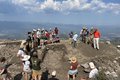
Mt. Lykaion Excavation & Survey Project
The Mt. Lykaion Excavation and Survey Project conducts topographical, architectural, geological, geophysical, and historical research on the birthplace of Zeus.
Parrhasian Heritage Foundation
Supporting the ongoing excavation, preservation and documentation of projects at the Sanctuary of Zeus at Mt. Lykaion.
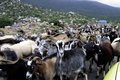
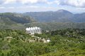
Parrhasian Heritage Park of the Peloponnesos
The Parrhasian Heritage Park proposes a living park of archaeological, cultural, and scenic resources between Arcadia, Elis, and Messenia, Greece.
A Cutting Edge Digital Lab for the Study of Ancient Greek and Roman Cities, Sanctuaries and Landscapes at the University of Arizona.